 |
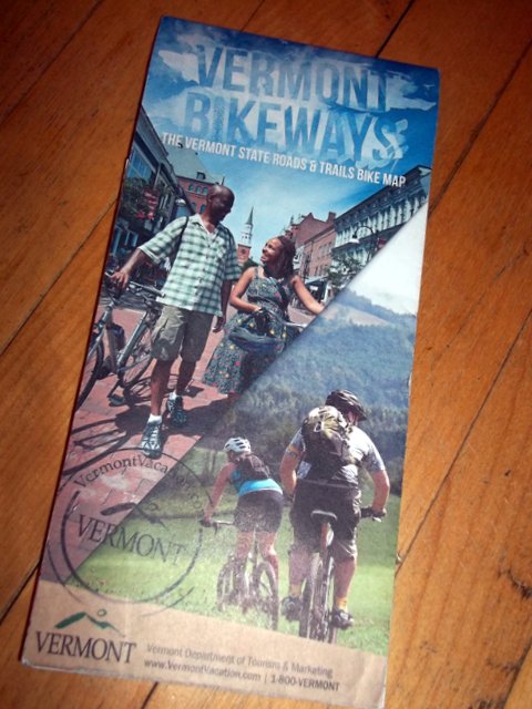
| Burlington's iconic pedestrian mall is on cover's upper quadrant. |
The first road and trails bike map produced by Vermont Department of Tourism is a stellar addition to any riders' collection. Vermont's roads are divided onto two sides, which allows for optimum scale.
What I find especially appealing: it's possible to ride loops—day-long or multi-day—by linking easy-to-read color coded routes. And, if you're amenable to cruising dirt roads, Vermont's treasures are endless.
Go to
Vermont Vacations to download a PDF map or have a printed copy dropped in the mail. It's free.


No comments:
Post a Comment
Due to increased Spam, I am moderating comments. Thank you for your patience.